Log in
All resources
Create a design
38,267 Free Images of 1893 Maps
details of old maps
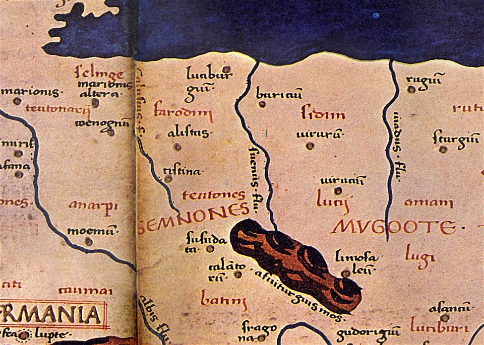
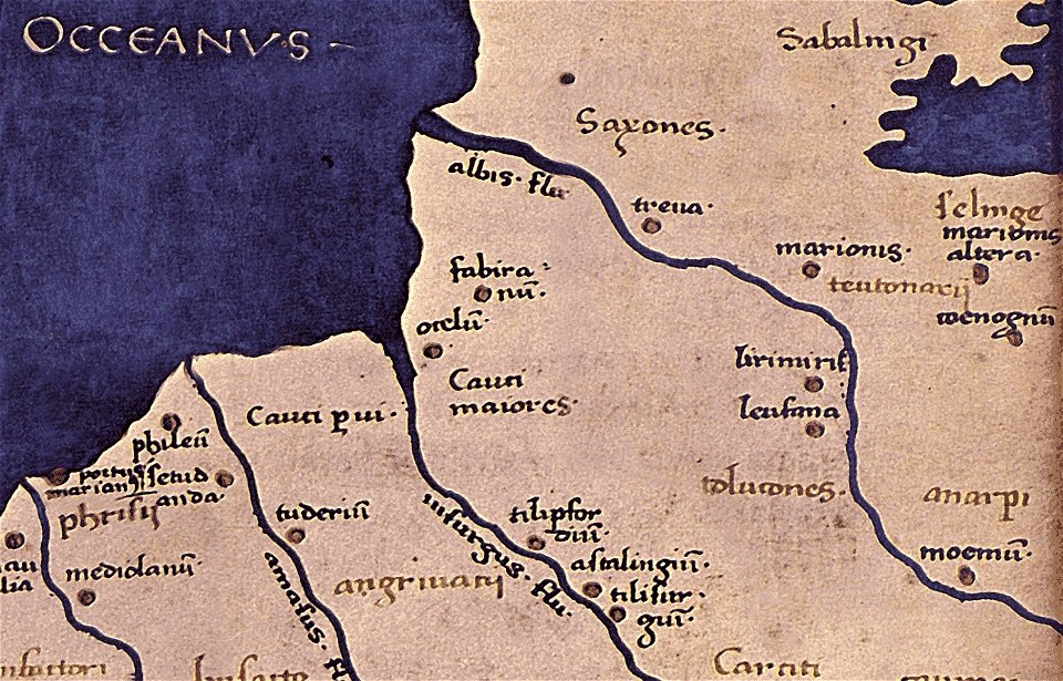
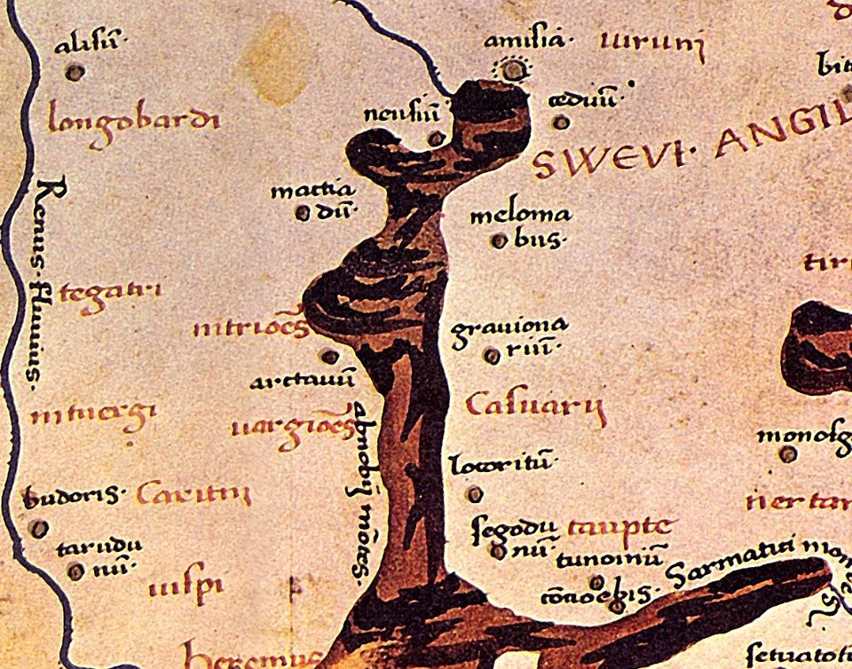
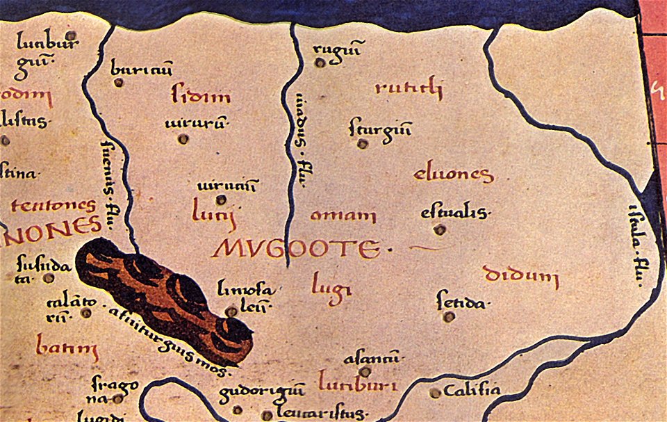
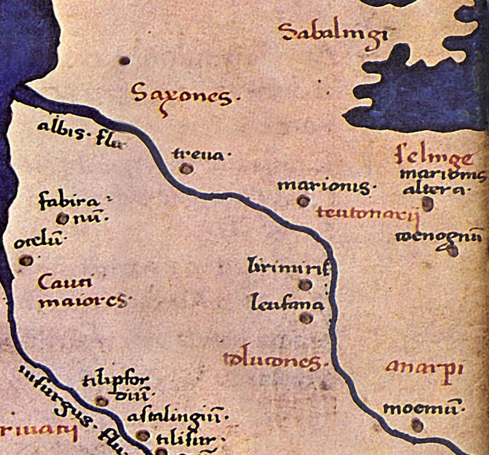
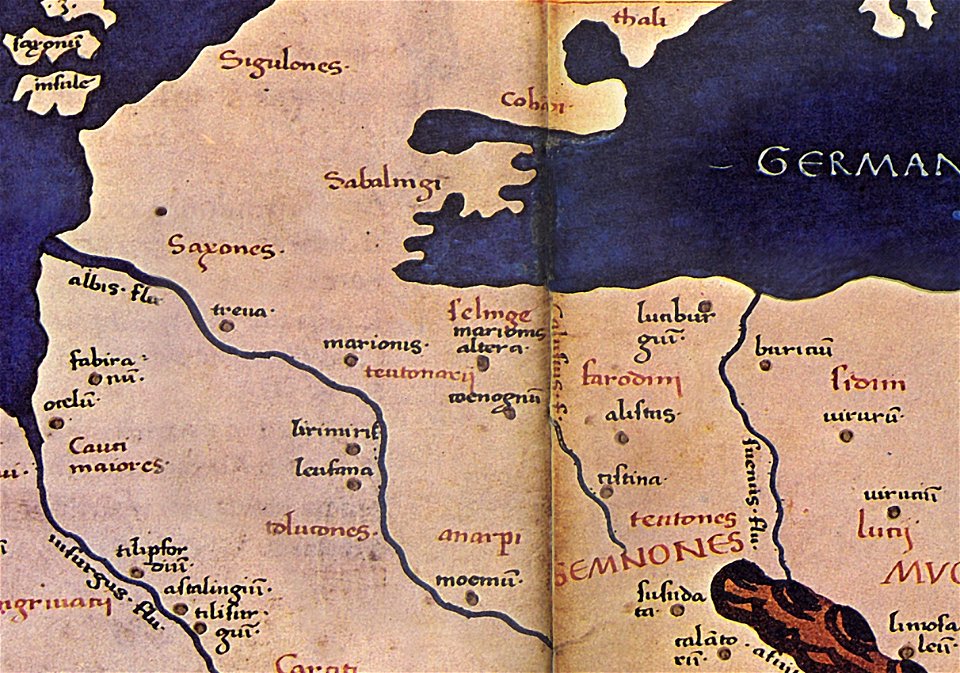
maps of germania magna
donnus nicolaus germanus
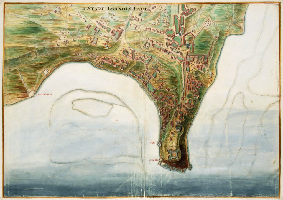
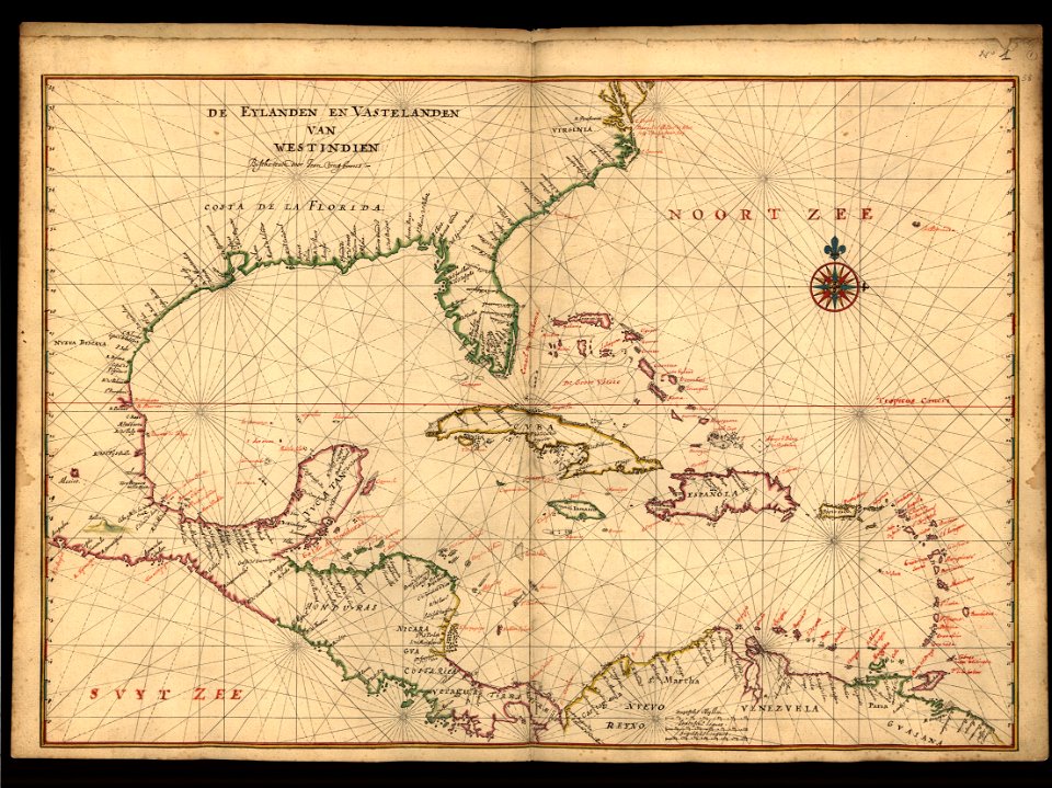
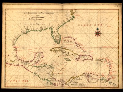
maps of the west-indische compagnie
maps in the library of congress
maps by benedetto bordon
isolario di benedetto bordone (1547)
1547 maps
maps by joseph hutchins colton
maps by pieter schenk (i)
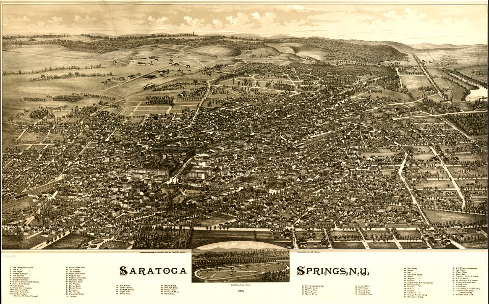
saratoga springs
new york
maps made in the 18th century
old maps of europe
maps made in the 17th century
old maps of trentino
maps made in the 17th century
maps by johannes janssonius
itinerario (jan huygen van linschoten)
latin-language maps
pictorial maps
barbados
maps with cartouches
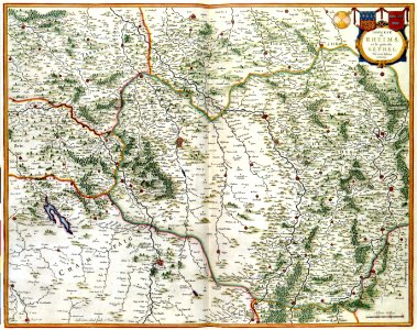
maps of reims
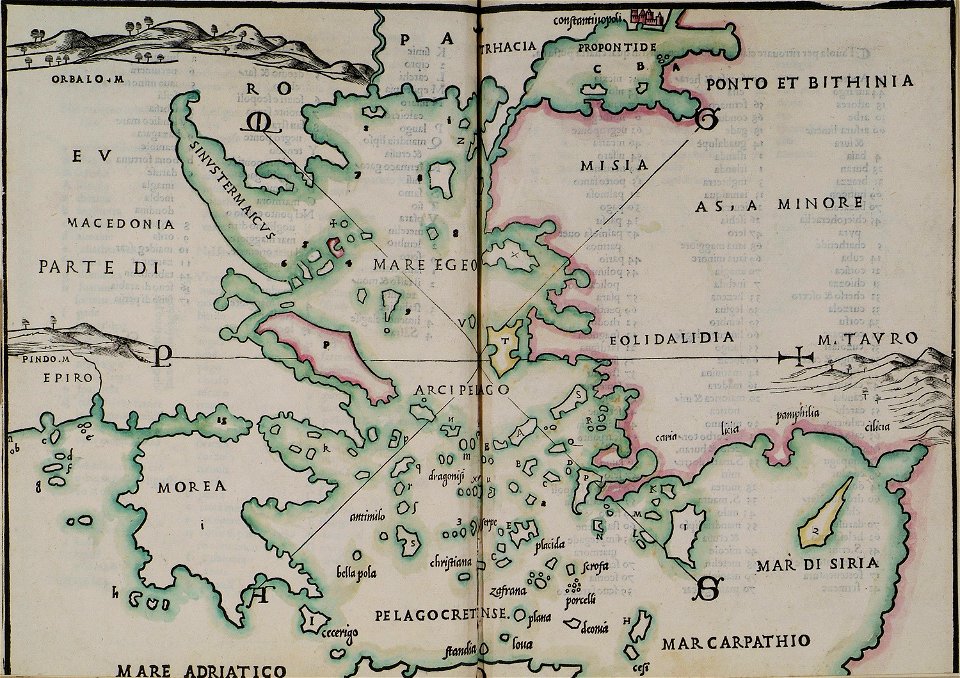
16th-century maps of the black sea
maps in the library of congress
maps made in the 17th century
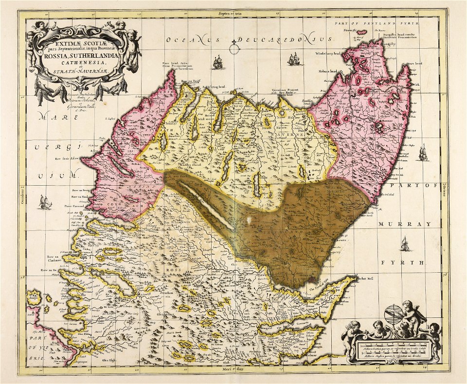
gerard valck
maps made in the 17th century
gerard valck
old maps of georgia (u.s. state)
maps in the library of congress
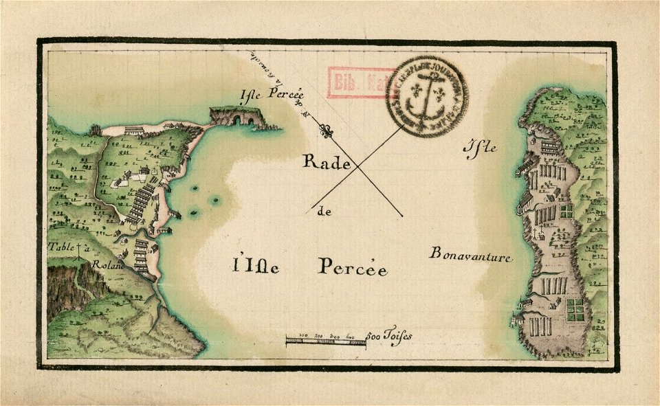
île bonaventure
percé
dutch-language maps
atlas van loon
braun & hogenberg
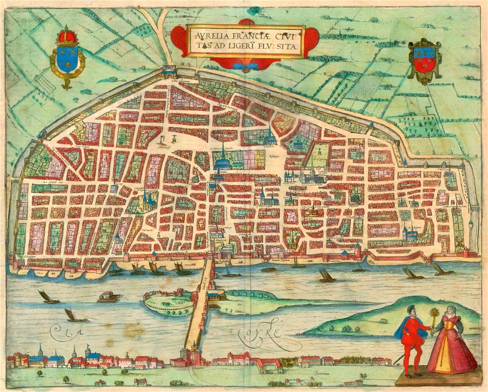
orléans
maps and topographical views by joris hoefnagel
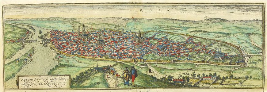
old maps of rouen
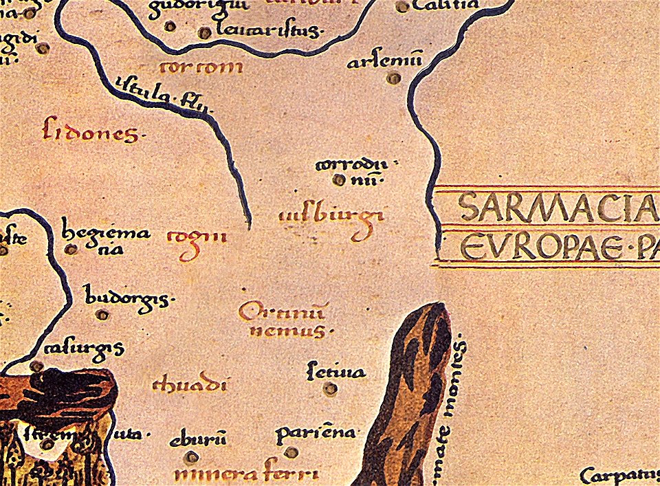
maps of germania magna
details of old maps
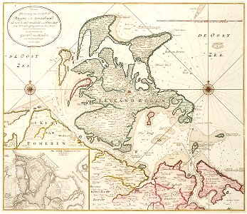
old maps of mecklenburg-vorpommern
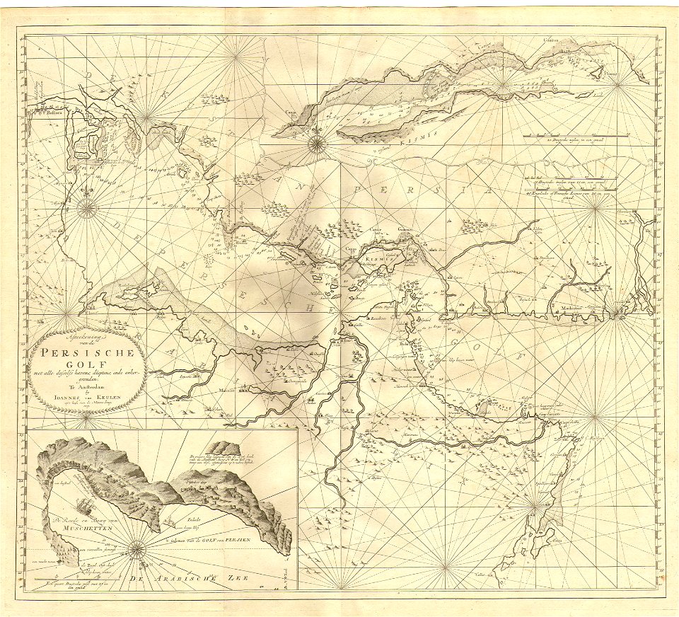
gerard van keulen
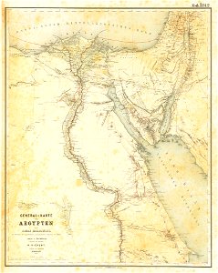
lepsius-projekt - maps
egypt in the 1850s
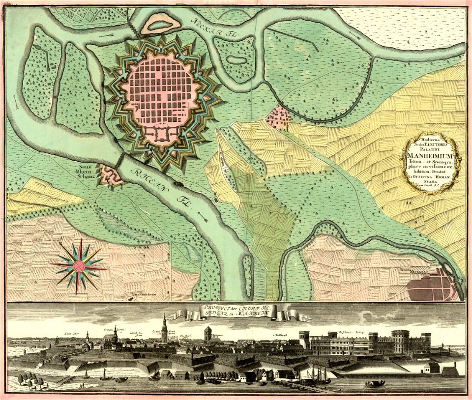
johann baptist homann
festung mannheim
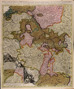
maps of germania magna
details of old maps
johannes van keulen
1753 maps
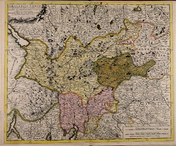
maps of germania magna
details of old maps
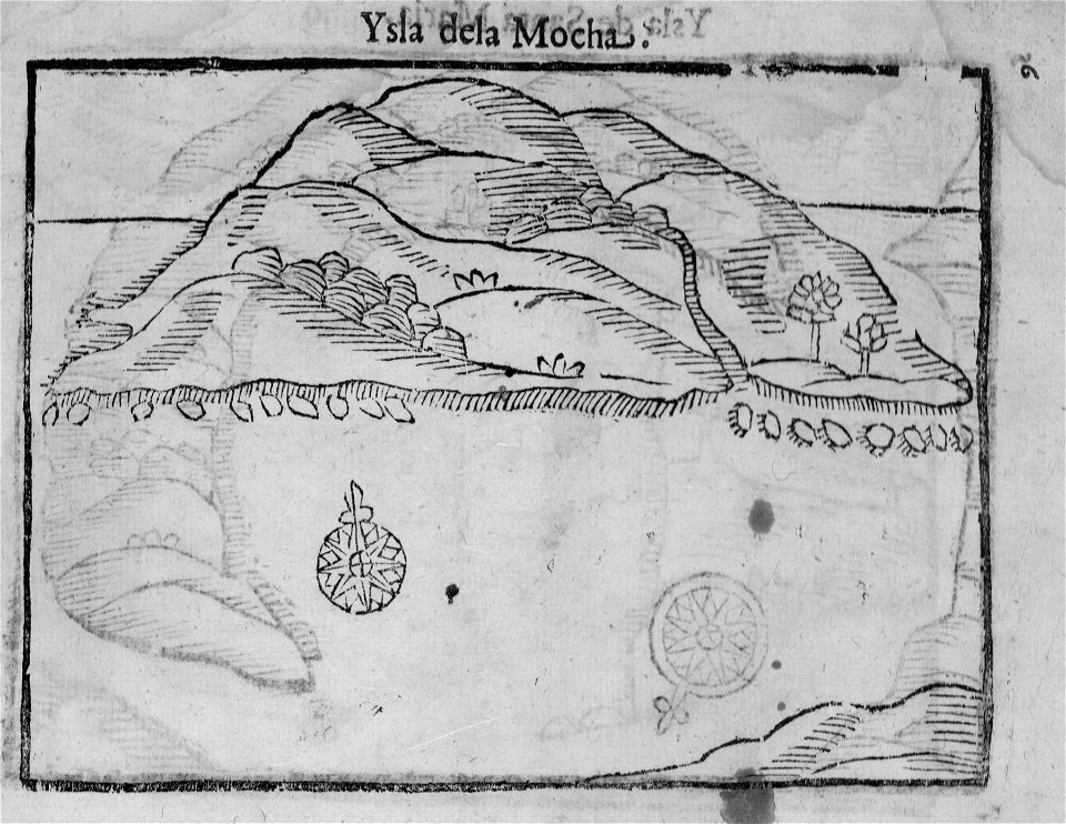
old maps of chile
alonso de ovalle
itinerarium hierosolymitanum et syriacum..., 1619
ships on maps
maps by gustav adolf von varendorf
maps of hamburg-billstedt
maps of the canton of basel-landschaft
old maps of switzerland
maps of germania magna
details of old maps
maps by willem and johannes blaeu
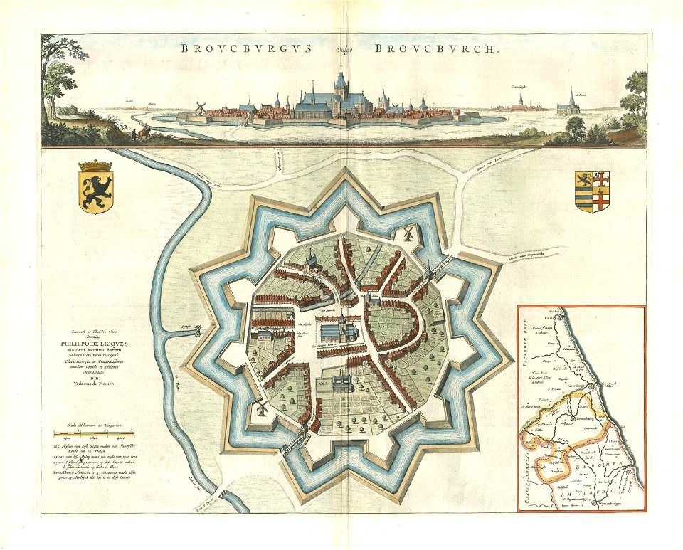
bourbourg
maps of germania magna
details of old maps
maps from turris babel
by athanasius kircher
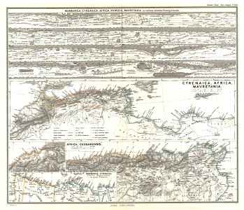
19th-century maps of africa
1865 maps
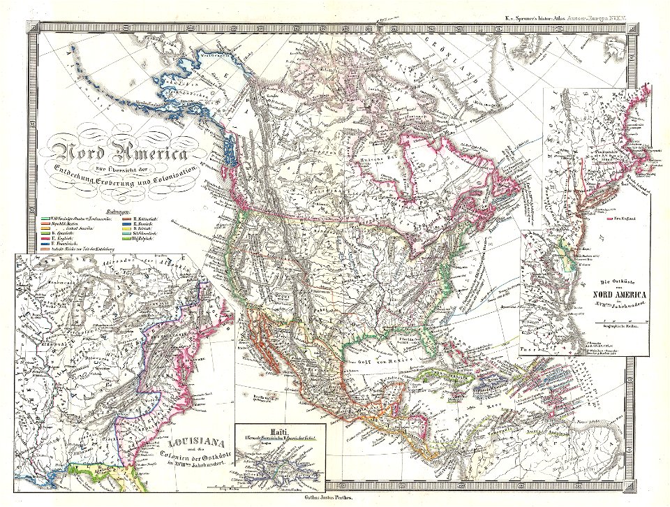
karl spruner von merz
1865 maps
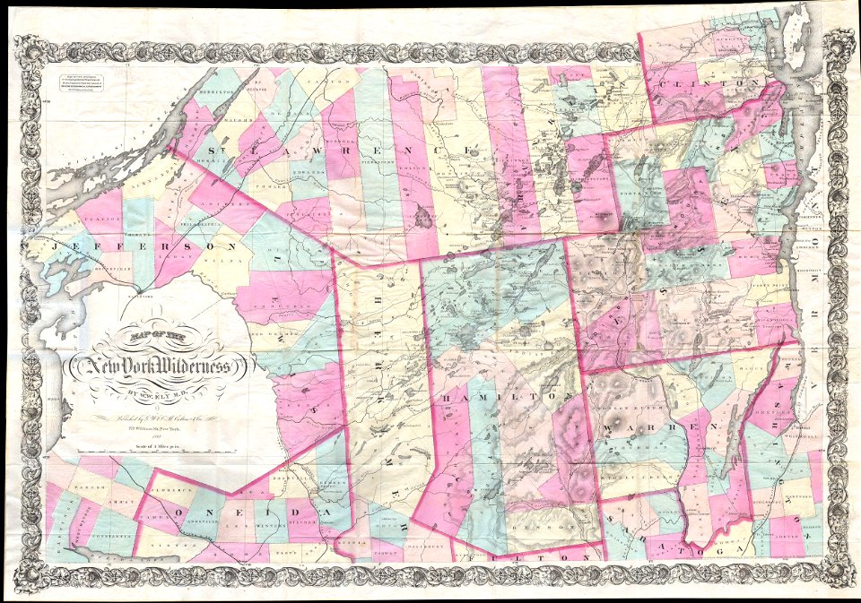
maps by joseph hutchins colton
1867 maps of new york (state)
maps by joseph hutchins colton
1855 maps of the united states
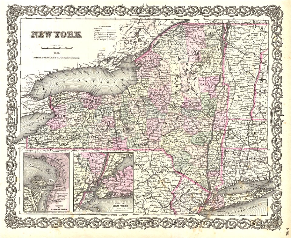
maps by joseph hutchins colton
1855 maps of new york (state)
karl spruner von merz
1855 maps
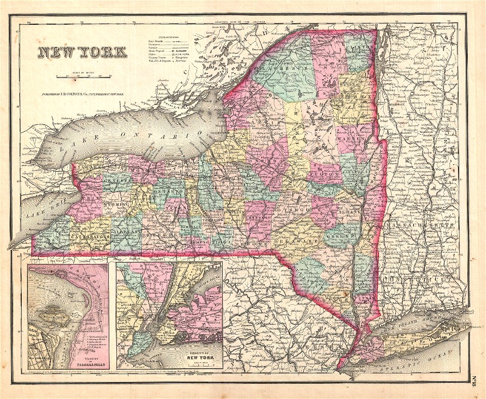
maps by joseph hutchins colton
1857 maps of new york (state)
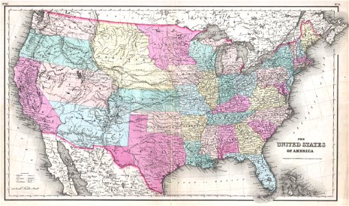
maps by joseph hutchins colton
1857 maps of the united states
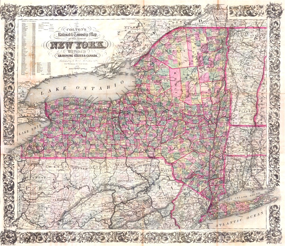
maps by joseph hutchins colton
1876 maps of new york (state)
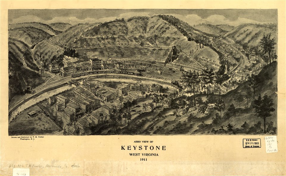
maps in the library of congress
1911 maps of west virginia
1740s maps of belgium
southern netherlands
maps by frederick de wit
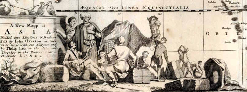
1680s maps of asia
maps of germania magna
details of old maps
maps in the library of congress
1888 maps of new hampshire
maps in the library of congress
1888 maps of new hampshire
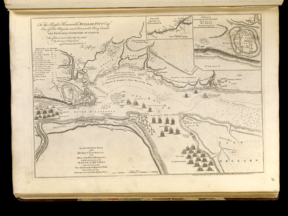
maps of the battle of the plains of abraham
1768 maps
maps by claude joseph sauthier
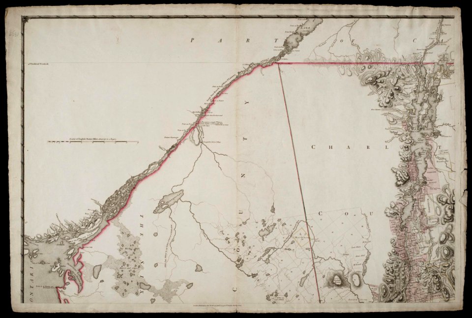
old maps of new york (state)
maps by claude joseph sauthier
old maps of new york (state)
maps by claude joseph sauthier
old maps of new york (state)
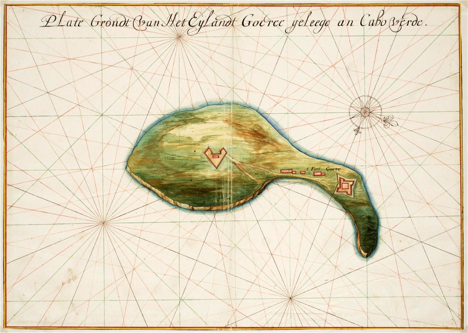
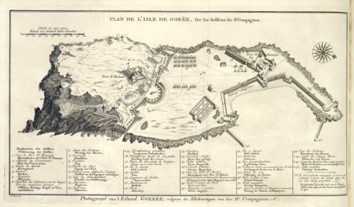
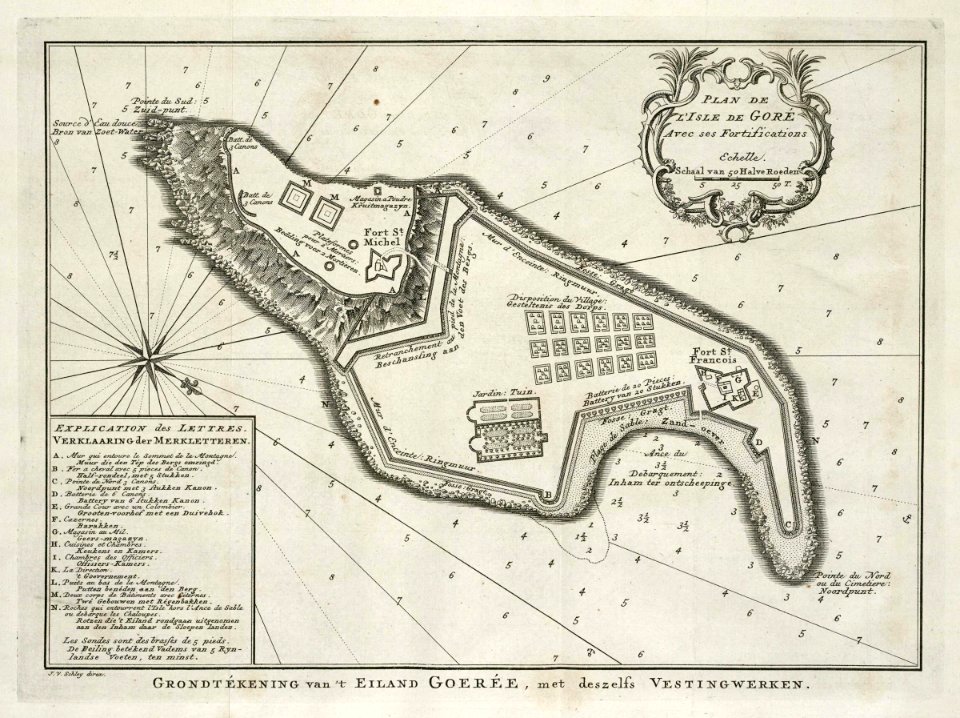
old maps of gorée
1665
maps of the west-indische compagnie
1665
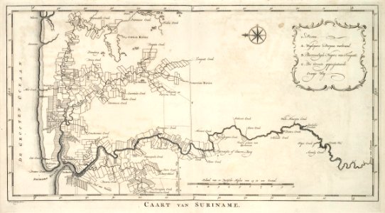
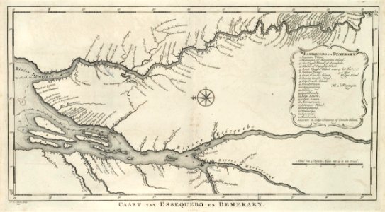
old maps of suriname
1770
old maps of suriname
1770
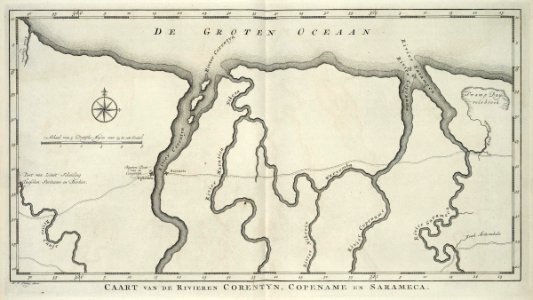
maps of the west-indische compagnie
1770
maps of the west-indische compagnie
1770
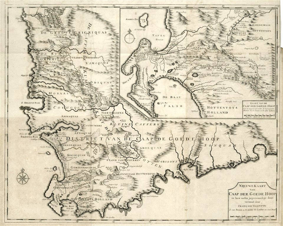
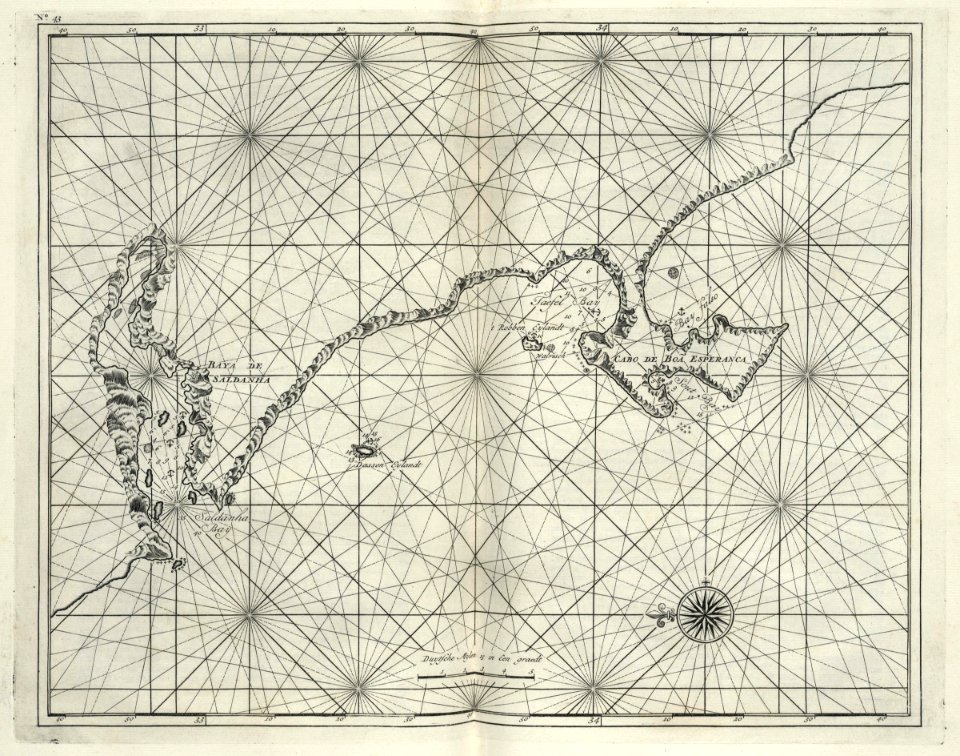
maps of the dutch east india company - south africa
1726 maps
maps of the dutch east india company - south africa
1726 maps
maps of the west-indische compagnie
old maps of gorée
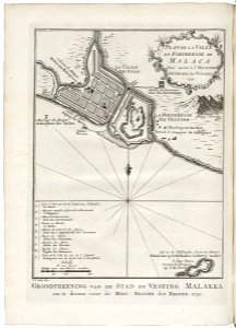
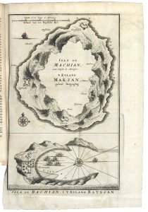
old maps of the dutch east india company - malaysia
1753 maps
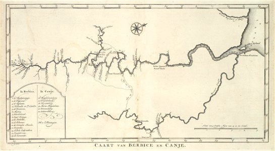
maps of the west-indische compagnie
1773
maps of the west-indische compagnie
old maps of gorée
maps of the west-indische compagnie
1768 maps
maps of the dutch east india company - indonesia
1753 maps
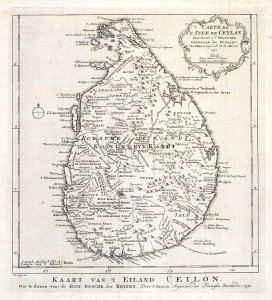
maps of the dutch east india company - sri lanka
1753 maps
maps of the republic of genoa
18th-century maps of liguria
claes jansz. visscher (ii)
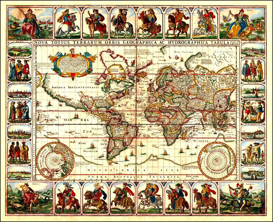
1650s maps of the world
claes jansz. visscher (ii)
1650s maps of the world
maps in the library of congress
1639 maps of north america
maps in the library of congress
1639 maps of north america
charte von schwaben (bohnenberger)
old maps of switzerland
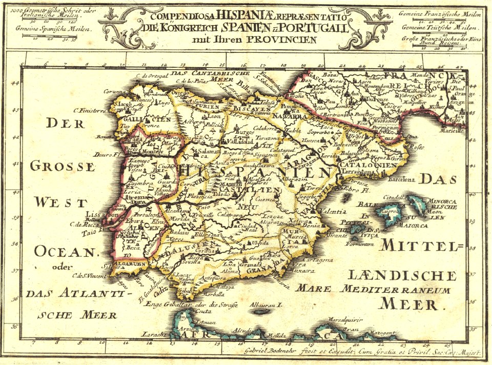
1720s maps of portugal
1720s maps of spain
old maps of switzerland
maps of basel
maps by willem and johannes blaeu
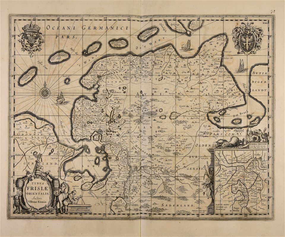
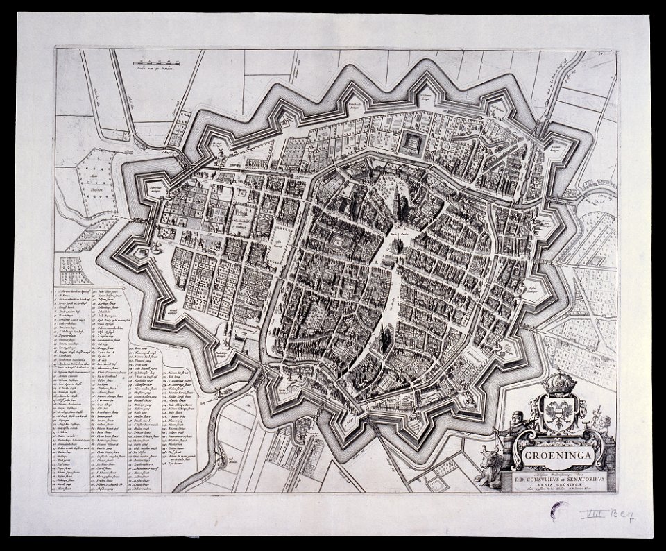
old maps of groningen (city)
new york
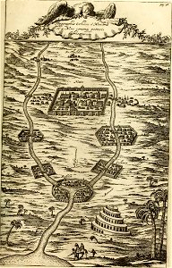
carthage
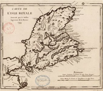
maps by jacques-nicolas bellin
old maps of cape breton island
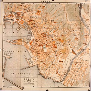
wagner & debes
old maps of genoa
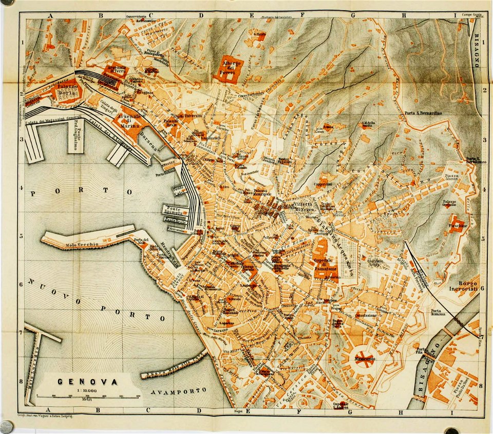
wagner & debes
old maps of genoa
fonds ancely - bibliothèque municipale de toulouse - maps
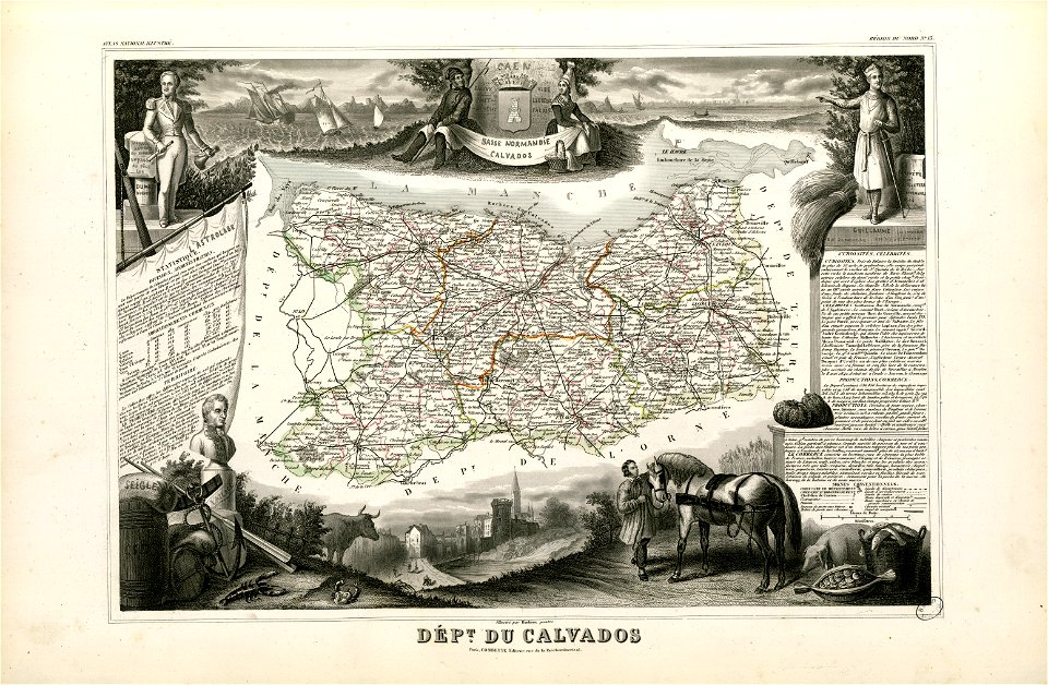
old maps of calvados
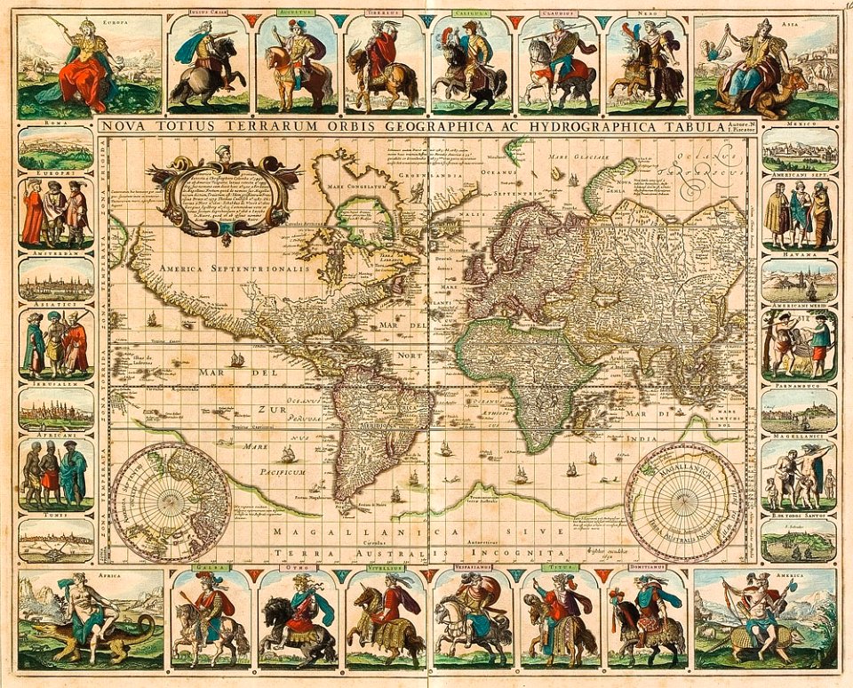
17th-century maps of the world
maps by frederick de wit
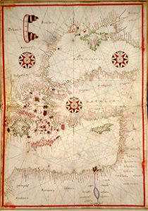
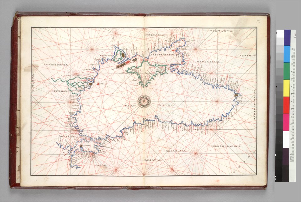
16th-century maps of the black sea
battista agnese
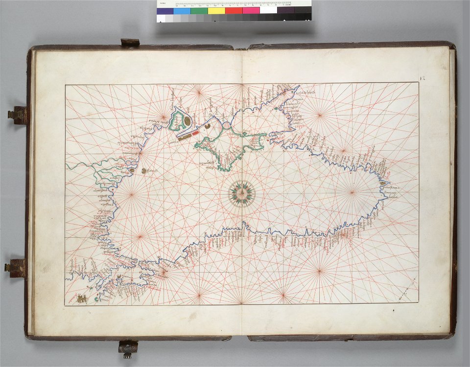
16th-century maps of the black sea
battista agnese
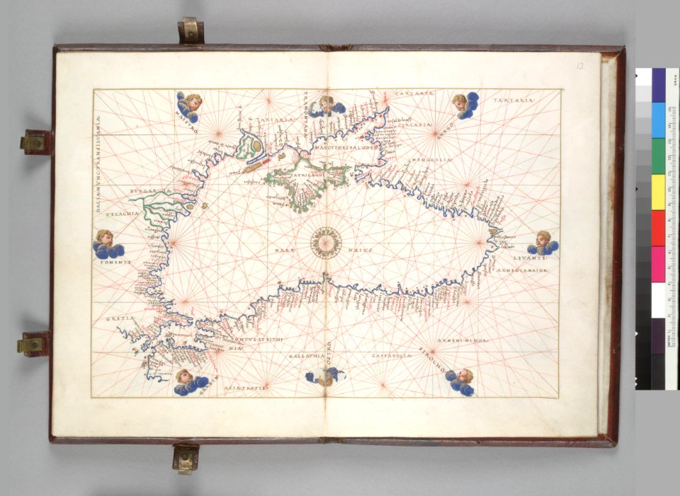
16th-century maps of the black sea
battista agnese
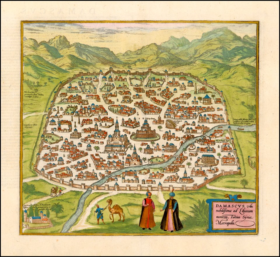
braun & hogenberg
georg braun
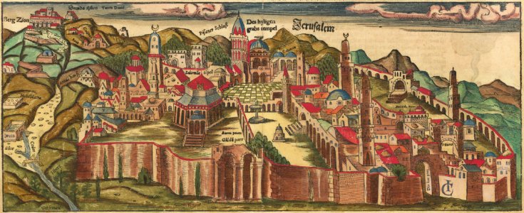
jerusalem in the 16th century
maps by sebastian münster
jerusalem in the 16th century
maps by sebastian münster
maps of germania magna
details of old maps
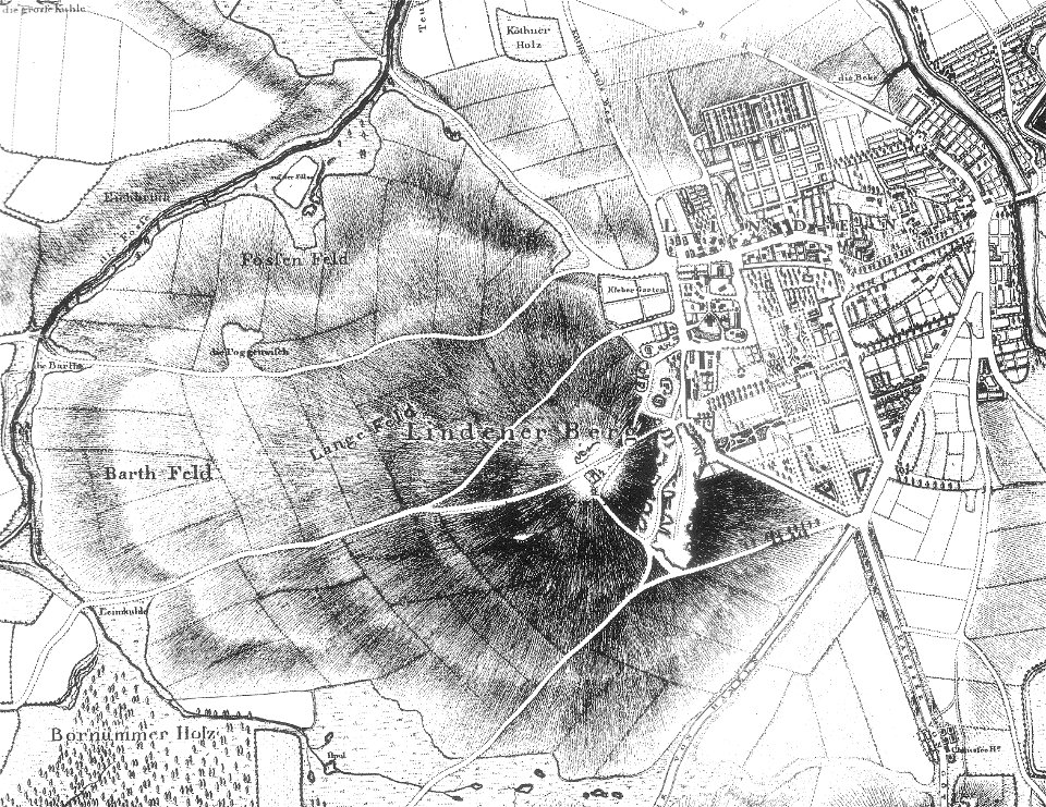
maps of linden (hannover)
old maps of hannover
maps of germania magna
details of old maps
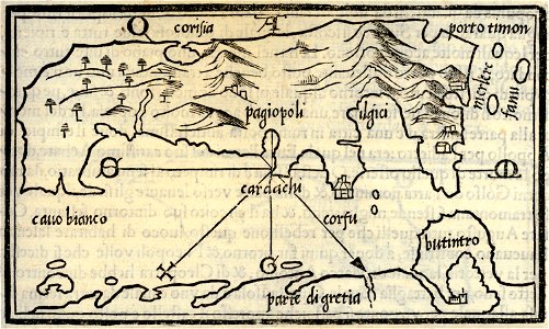
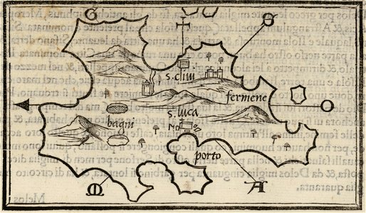
isolario di benedetto bordone (1547)
maps by benedetto bordon
isolario di benedetto bordone (1547)
maps by benedetto bordon
isolario di benedetto bordone (1547)
maps by benedetto bordon
maps of germania magna
details of old maps
maps of germania magna
details of old maps
maps of germania magna
details of old maps
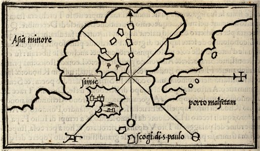
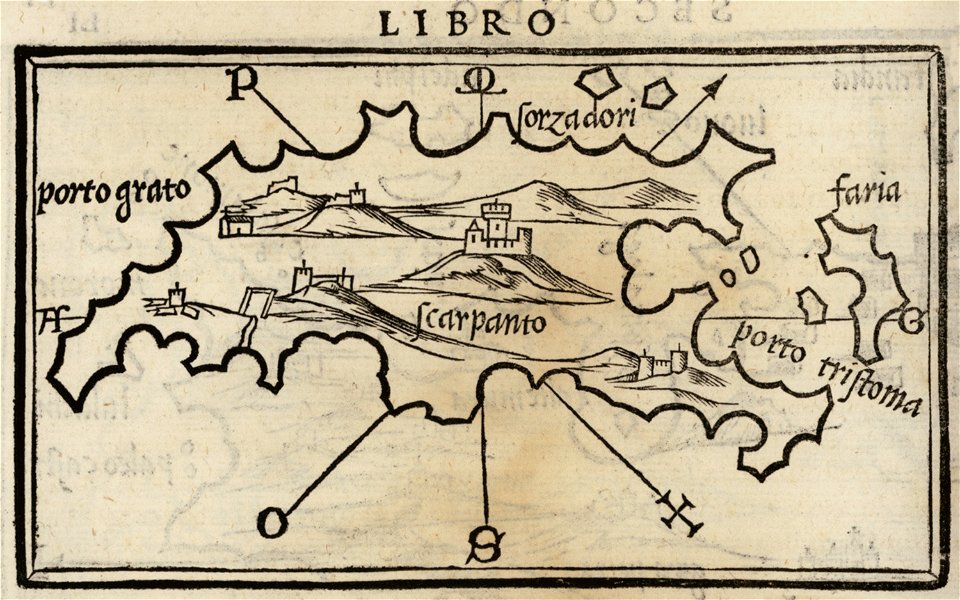
isolario di benedetto bordone (1547)
maps by benedetto bordon
isolario di benedetto bordone (1547)
maps by benedetto bordon
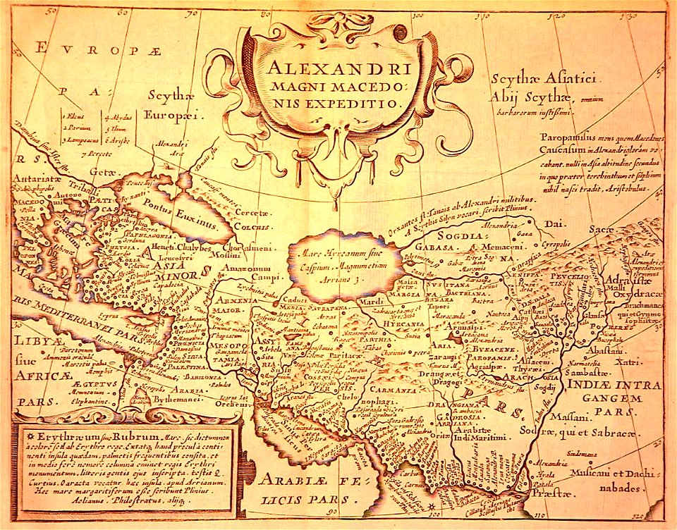
maps of alexander the great's wars
maps of the macedonian empire
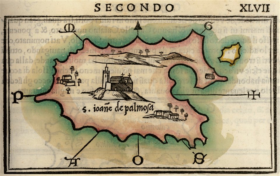
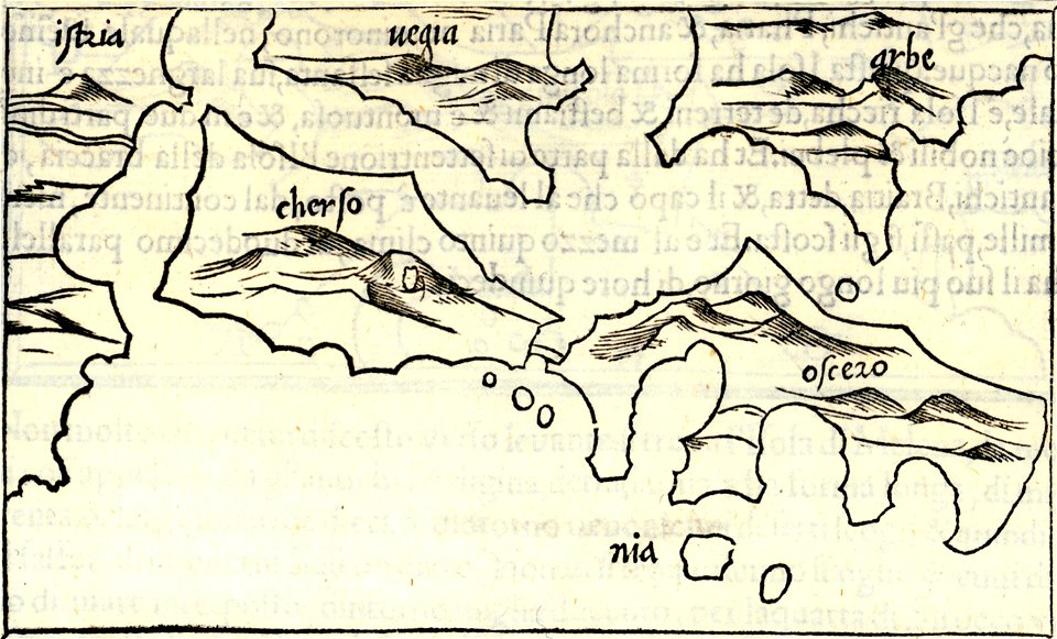
isolario di benedetto bordone (1547)
maps by benedetto bordon
isolario di benedetto bordone (1547)
maps by benedetto bordon
isolario di benedetto bordone (1547)
maps by benedetto bordon
4201 - 4300 of 38,267
Next page
/ 383